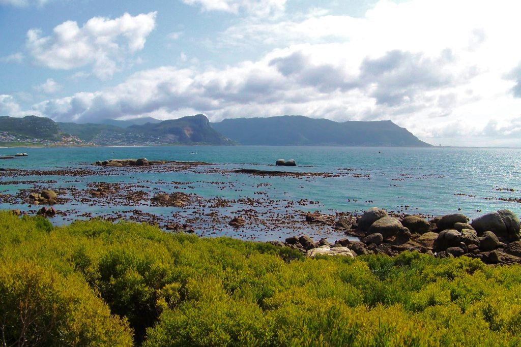
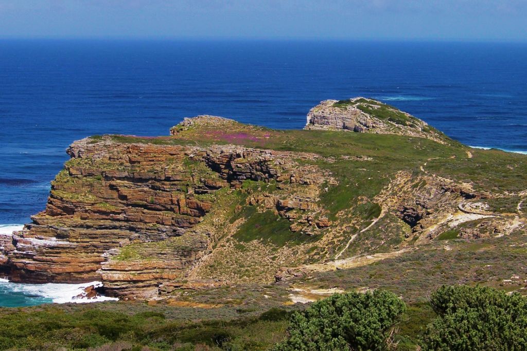
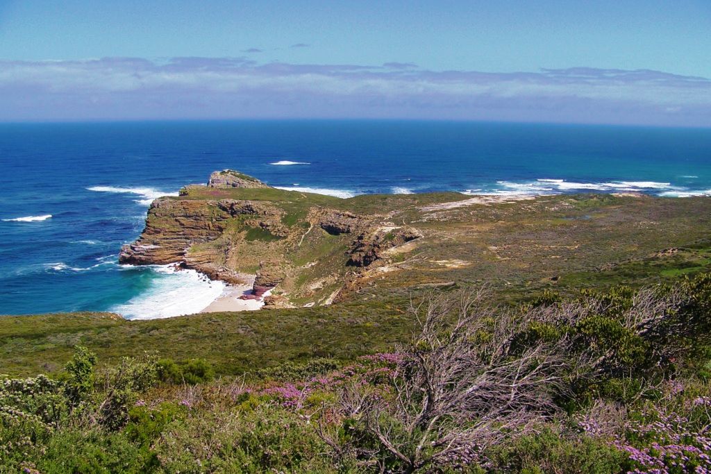
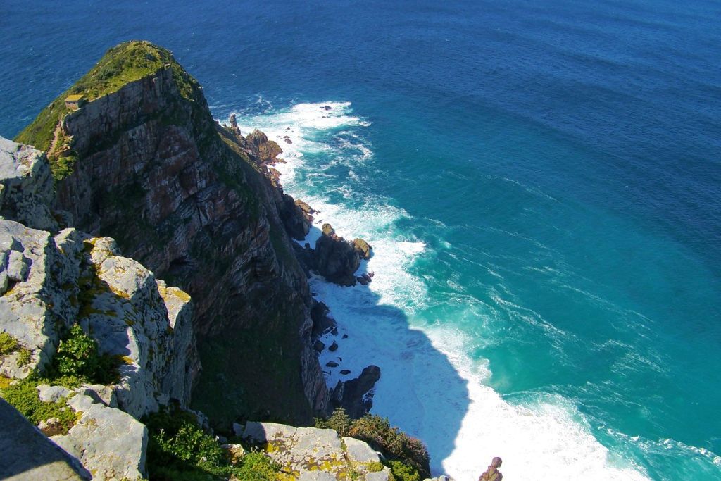
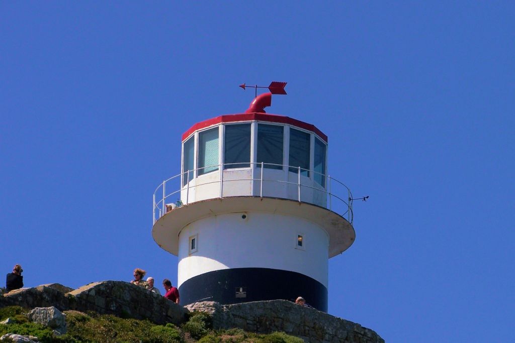
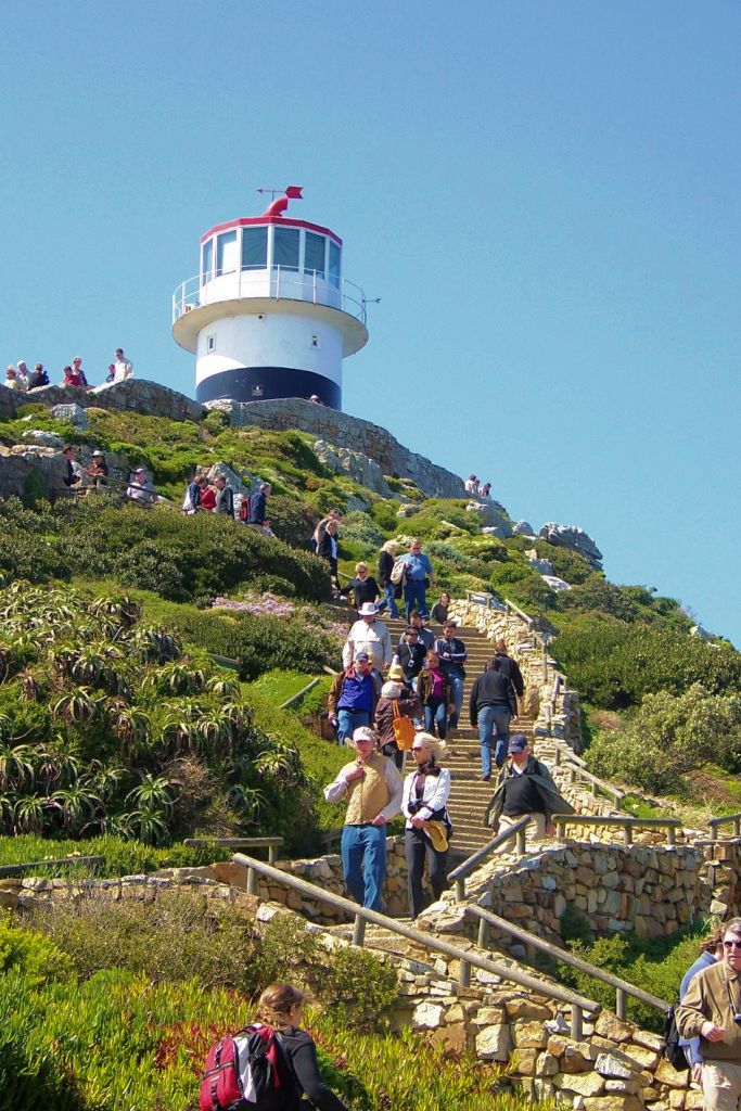
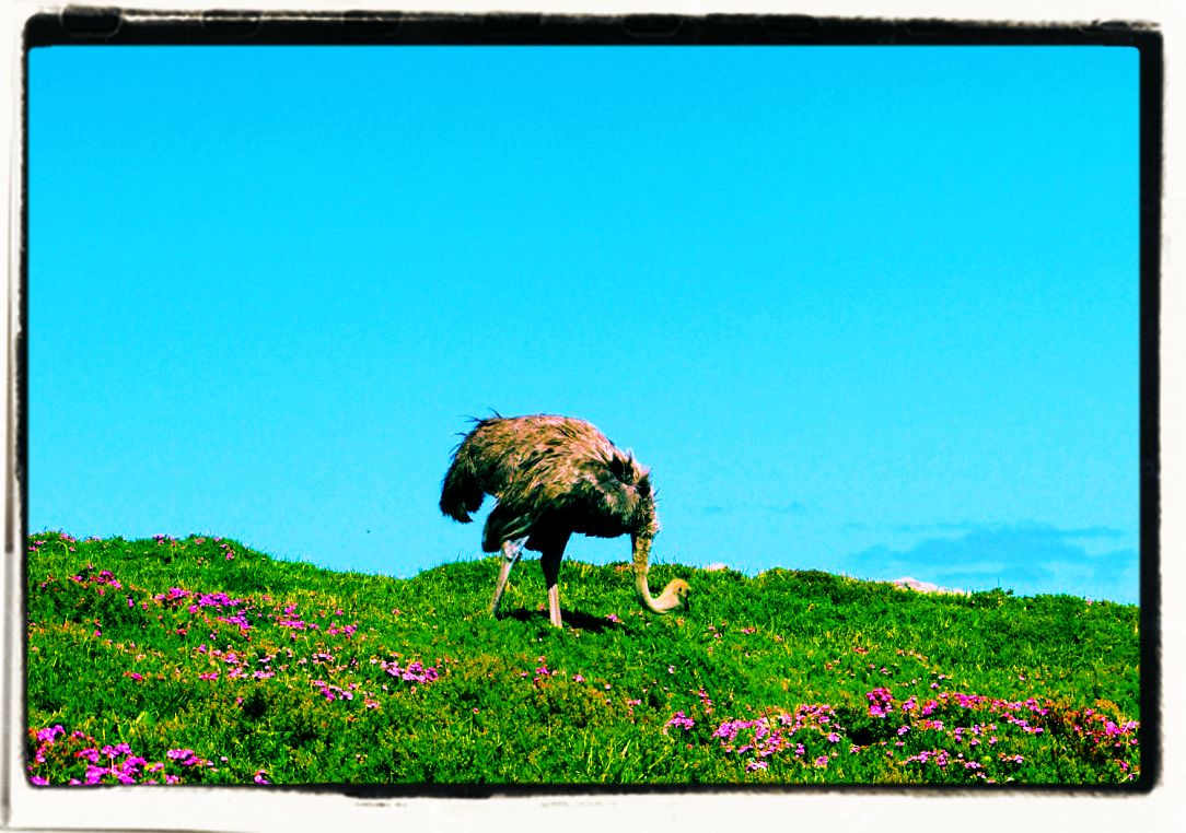
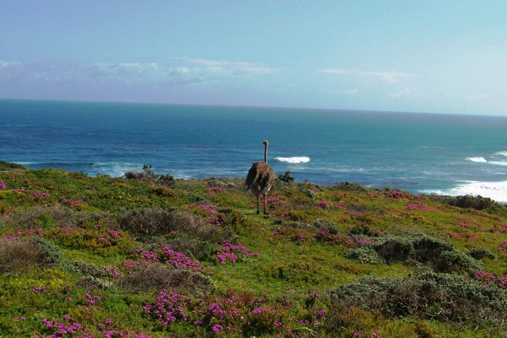
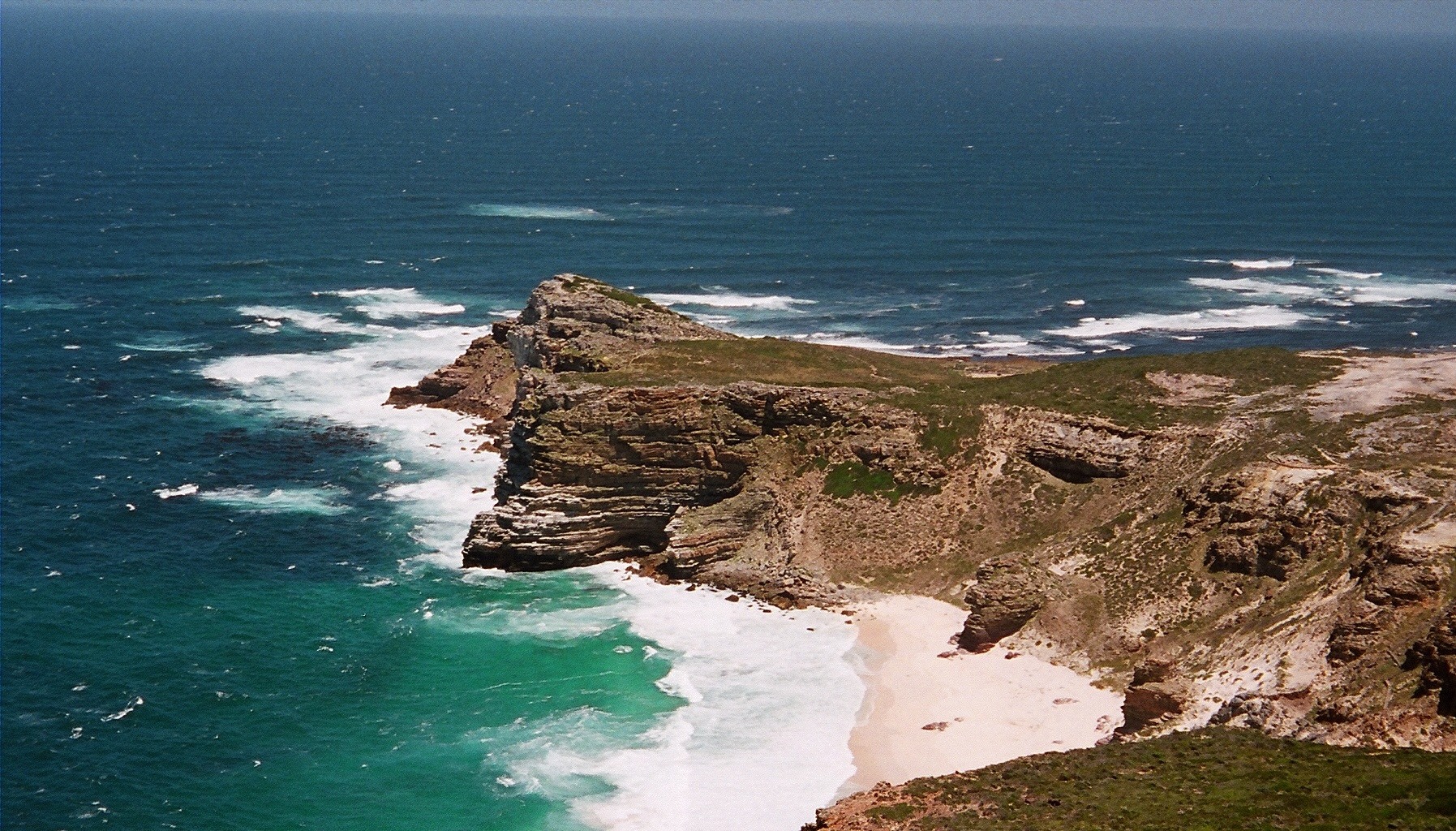
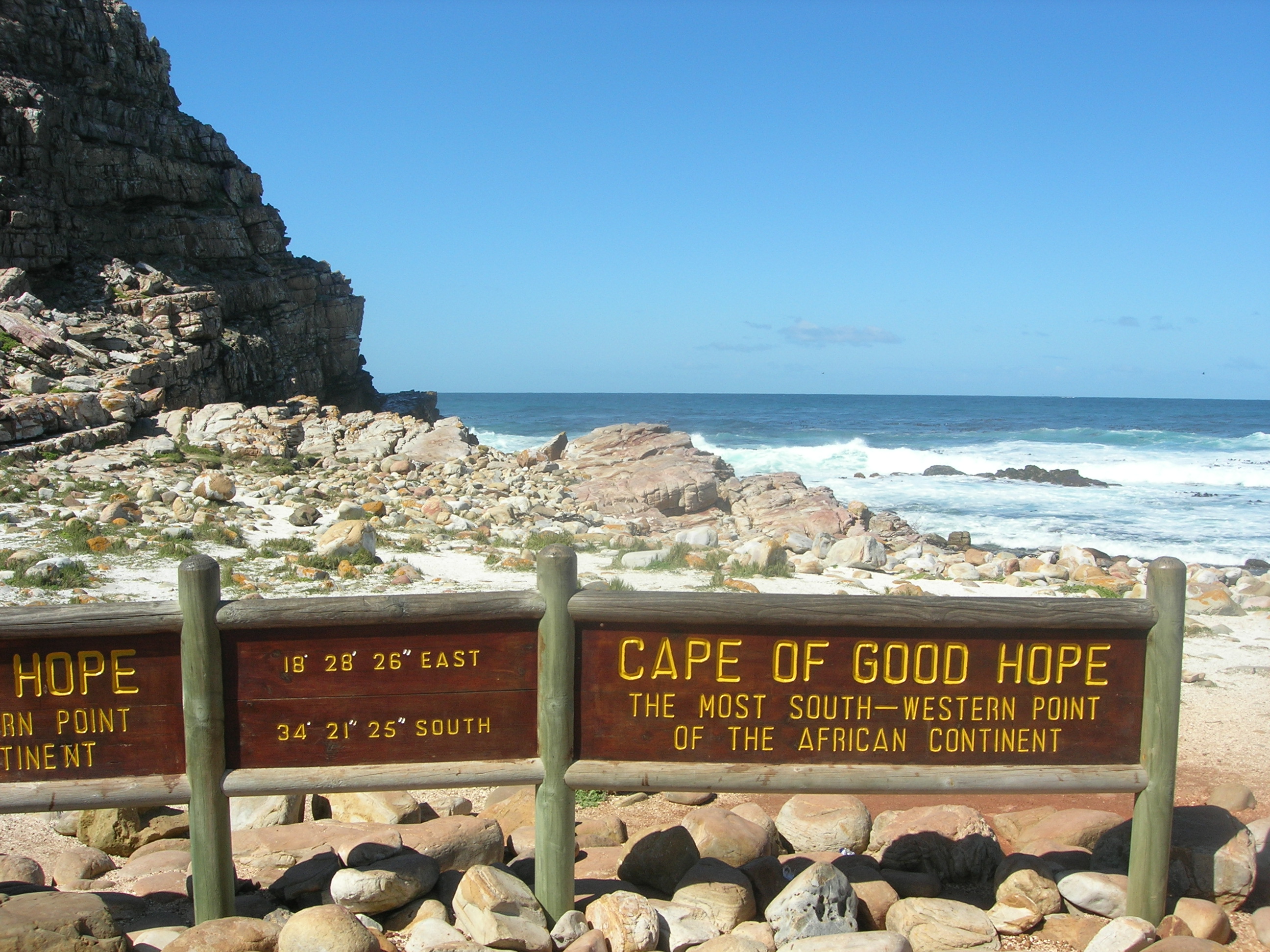
Kaap de Goede Hoop werd lang beschouwd als het meest zuidelijke punt van Afrika omdat deze plek het splitsingspunt tussen de Atlantische en Indische Oceaan is. Het meest zuidelijke punt is echter Kaap Agulhas, dat ongeveer 150 kilometer oostelijker ligt. Bij het volgen van de westelijke kant van de Afrikaanse kust markeert de Kaap de Goede Hoop het punt waar een schip meer naar het oosten dan naar het zuiden begint te reizen. De eerste moderne ronding van de kaap in 1488 door de Portugese ontdekkingsreiziger Bartolomeu Dias was een mijlpaal in de pogingen van de Portugezen om directe handelsbetrekkingen met het Verre Oosten te verkrijgen. Dias noemde de kaap “Cabo das Tormentas” (“Kaap van de Stormen”).
There is a misconception that the Cape of Good Hope is the southern tip of Africa, because it was once believed to be the dividing point between the Atlantic and Indian Oceans. In fact, the southernmost point is Cape Agulhas, about 150 kilometres to the east-southeast. When following the western side of the African coastline from the equator, however, the Cape of Good Hope marks the point where a ship begins to travel more eastward than southward. Thus, the first modern rounding of the cape in 1488 by Portuguese explorer Bartolomeu Dias was a milestone in the attempts by the Portuguese to establish direct trade relations with the Far East. Dias called the cape Cabo das Tormentas (“Cape of Storms”), which was the original name of the “Cape of Good Hope”.